Trohornet: 649 m asl. Engeloya – Steigen is about 10 km long.
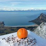
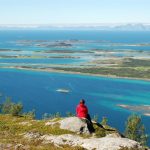
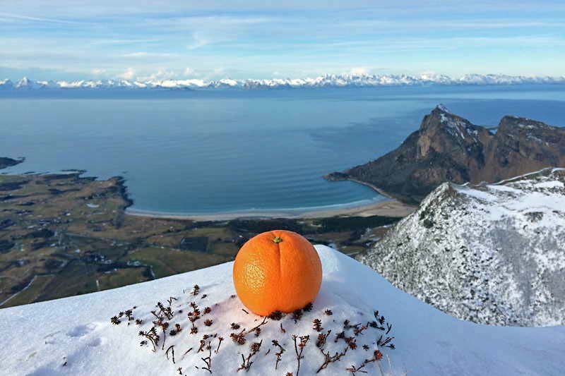
rom the top you can enjoy the gorgeous view that reveals itself 360 degrees around you with beautiful archipelago along the coastline, Engel island’s highest peak and the very heart of the island.
Here is an overview of most of the peaks on the island as Priest Kona, Hanekammen, West Hornet, Mjeldberget, Tretindan, Sætertinden, and one has a lovely view across to Skrova in the Vestfjord, the Lofoten Wall, Lundøya, Hamarøy, Hatten, Bogen mountain range around Småtindan and Nordskot.
“Trohornet” is signposted at the roadside by Mølleskog.
The trail is good and the ground dry all the way to the top. The first few hundred height few meters walk through beautiful birch forest that gradually flattens out while the vegetation diminishes and the view reveals itself. Up on the 300M you about the forest border and you get an incredibly beautiful mountainous area that opens up to you.
On the approximately 3 km from here to the top Paser first Klekkstinden and so Nonstinden before the final ascent up to Trohornet ahead.
Easy hike on a dry and well-marked path.
Fill waterbottles (no rivers or streams in the mountains)
Winter
Can be part of snow and ice on exposed areas, so crampons and snowshoes can be an advantage. Skiing can also be used up to Nonstinden and or with a trip up the Skjelltuva.